Severe Winter Weather Grips Western States with Heavy Snowfall and High Winds
ByMichele Acquaragia
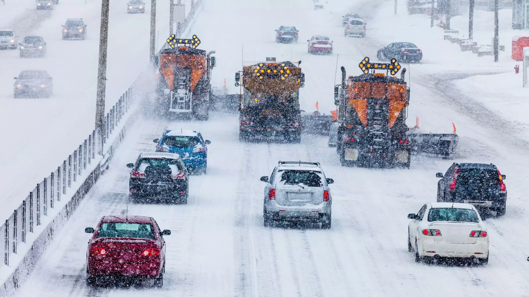
A powerful winter storm has descended upon the Western United States, prompting severe weather warnings across several states. Forecasts indicate substantial snowfall, with some areas above 10,000 feet expected to receive up to 18 inches of snow, accompanied by strong winds gusting as high as 50 mph. This weather event is creating extremely challenging travel conditions, particularly in mountainous regions, and authorities are urging residents and travelers to exercise extreme caution and prepare for potential disruptions.
The National Weather Service has issued winter storm warnings for various locations, with Colorado being significantly affected. The San Juan Mountains, both northwest and southwest sections, are under a warning until Monday afternoon, anticipating 12 to 18 inches of snow and wind gusts up to 45 mph. Key areas within this warning include Telluride, Ouray, Silverton, and several mountain passes such as Red Mountain, Molas, Coal Bank, and Lizard Head. Further east, the eastern San Juan Mountains, including Wolf Creek Pass and Cumbres Pass, are also under a warning, expecting 8 to 14 inches of snow and the storm's strongest winds, potentially causing significant blowing and drifting snow, making travel hazardous, especially on Sunday night and Monday morning.
Beyond Colorado, other Western states are also bracing for the impact of this storm. Utah, Wyoming, Idaho, Nevada, and California have various winter alerts in place, highlighting the widespread nature of this weather system. Nevada's Ruby Mountains, for instance, are specifically under a winter storm warning, underscoring the broad geographical reach of the severe conditions.
Driving through mountain passes during such conditions presents unique risks. Wolf Creek Pass, a section of US 160, is known for its steep 7 percent grade descending for over eight miles, including a hairpin curve and two runaway truck ramps. The Colorado Department of Transportation (CDOT) advises truck drivers to inspect brakes thoroughly, maintain low speeds in low gear, and avoid continuous braking to prevent overheating. The pass's wide shoulder serves as a designated chain-up area for vehicles in both directions.
Red Mountain Pass on US 550, another critical route, is particularly susceptible to avalanches. In 2023, CDOT implemented remote avalanche control systems, including Gazex and O'bellx units, which use compressed air and gases to trigger controlled avalanches when the road is closed. These systems allow crews to conduct mitigation work efficiently in the early morning hours, minimizing road closures and enhancing safety for commuters. Across Colorado, CDOT and the Colorado Avalanche Information Center actively monitor hundreds of avalanche paths, with proactive mitigation efforts on a significant portion of them. Travelers are encouraged to check COtrip or dial 511 for the latest road conditions.
As the winter storm continues its progression, residents and those planning travel in the affected Western states must remain vigilant. Adhering to weather advisories, exercising caution on roads, and being prepared for rapidly changing conditions are paramount to ensuring safety during this period of significant snowfall and high winds.
About the author
Michele Acquaragia
Fictional representative of the passionate journalists covering high-performance supercars and Italian design.